Journey planners
Journey planners can be useful to find specific train times and prices for your trip. Wherever you want to go, it will show you train changes and onward connections. National Rail’s journey planner is simple to use for train trips, whereas Good Journey’s planner can help you plan an entire car-free journey combining train and bus or Trainline’s planner can connect you even further with European train journeys.
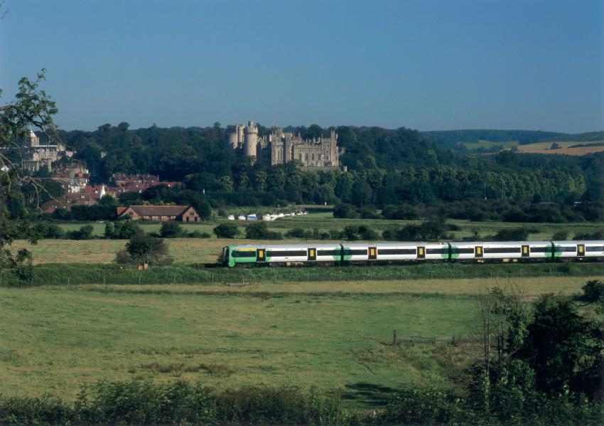
Exploring further by public transport
There are lots of helpful tools available for you to plan your trip from door to door across Britain. Google Maps and Traveline both offer different public transport options including train and bus, and provide a map to view your journey. If you’re heading into a large city and need to know how to get around, city specific journey planners can help such as Transport for London or Citymapper.
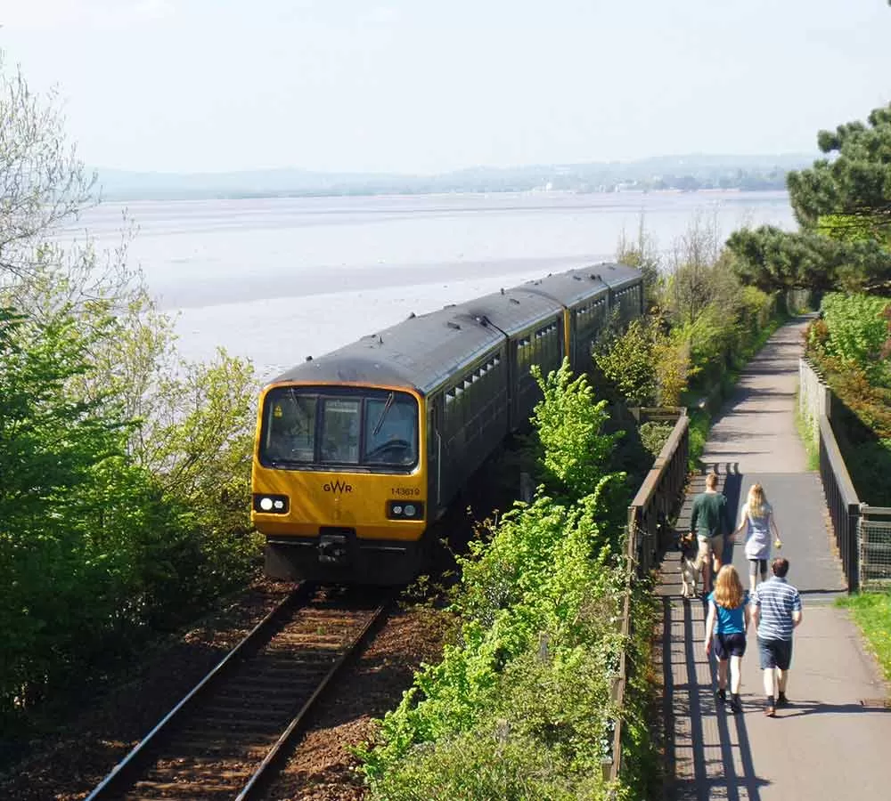
Looking to explore further on foot or two wheels? Walking and cycling sites and apps such as Go Jauntly, Kamoot and Sustrans’ map of the National Cycle Network can help identify pathways and routes to get you to your destination. Take a look at RailWalks.co.uk for a selection of walking routes from railway stations across Britain.
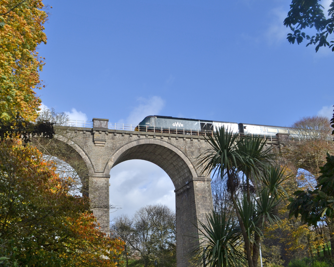
Save money on train tickets
Travelling by train doesn’t have to be expensive. If you’re going on a longer journey, be sure to book your tickets in advance. The cheaper advance tickets are usually released 12 weeks before date of travel. You may be able to save money if you can be flexible with your time of travel, for example avaoid peak times and purchase an off-peak ticket. Railcards and passes are also a great way to save money on your tickets, especially if you use them more than once per year.
Railcards and passes
You can save up to a third on many British train tickets by buying a National Railcard.
Find out more here.
Accessible travel
Passenger Assist allows you to request assistance at stations across Britain. You simple book the free service in advance and station staff will be on hand to help get you where you need to be. Find out more here.
Travelling with the family
Children under five travel free and 5-15 year olds can get half price rail travel. Over 15’s are classed as adults, but are eligible for a 16-25 Railcard. Consider getting a Family & Friends Railcard for more savings throughout the year, see here.
Family members of the animal variety are welcome on the train too. You can take up to two animals with you on the train, at no extra charge. You can find more information and advice on travelling with pets here.